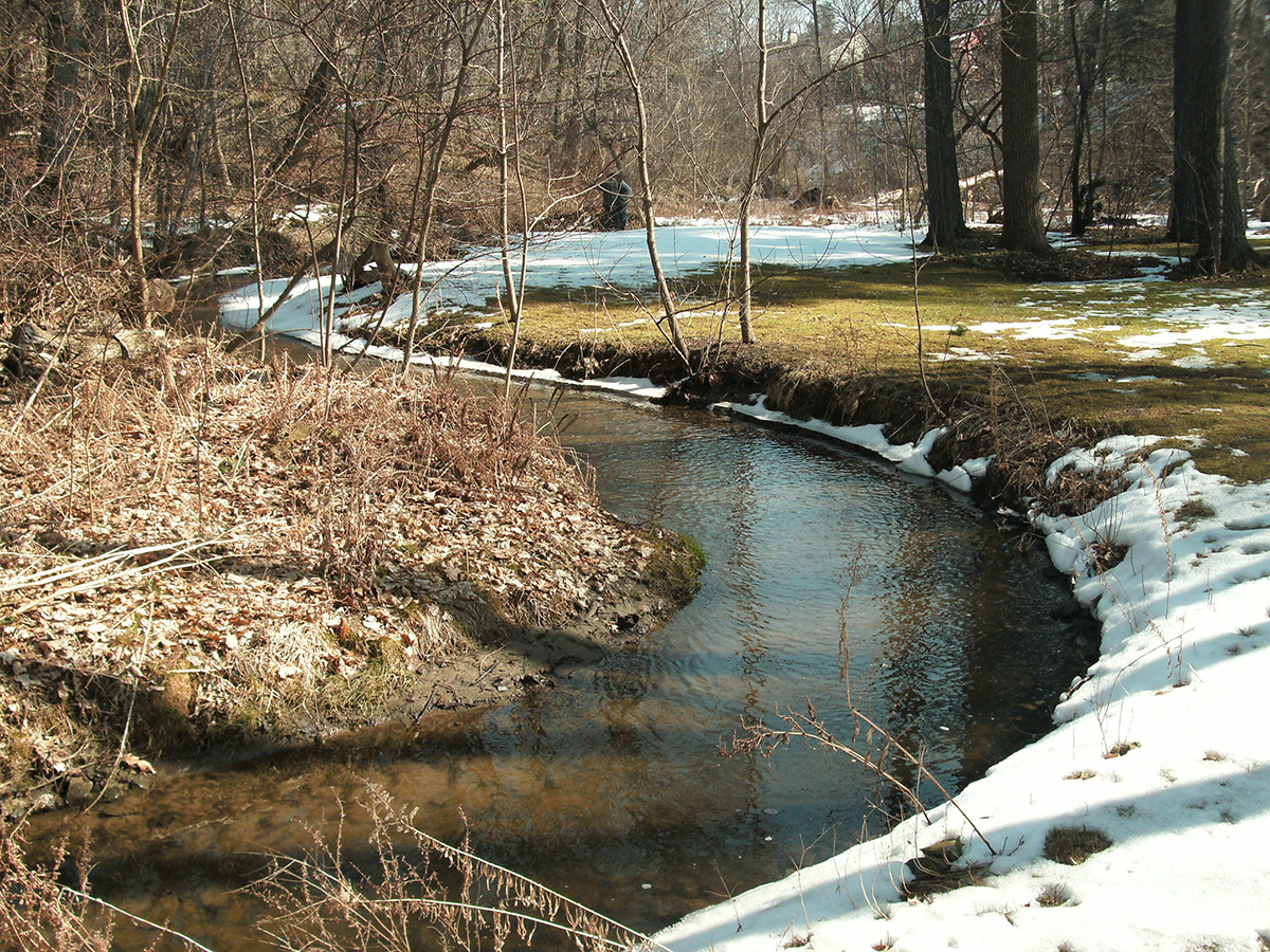
The Dingle Creek watershed is approximately 402 hectares in size and has agricultural, commercial, and residential land uses. Significant development within the watershed has occurred over the past 20 years, and the increased development within the watershed increased peak flow rates and resulted in erosion problems in the downstream portion of Dingle Creek. In addition to increased peak flow rates, development within the Dingle Creek watershed has reduced infiltration and groundwater discharge to the creek. WalterFedy’s civil engineers were retained to prepare an existing conditions hydrologic model of the Dingle Creek watershed to assist in determining potential impacts further development may have on the creek system. The scope of work included preparation of a continuous monitoring program to collect data used to calibrate a continuous storm water model. The model was used to design natural bank stabilization measures along a stretch of 915 meters in a deeply incised ravine between homes on several private properties. This project incorporates a significant public consultation component because all bank stabilization works will be performed on private property.
You might also enjoy
Healthcare & Life Sciences
Stratford General Hospital Inpatient Pharmacy and Chemotherapy Renovations
Huron Perth Healthcare Alliance

